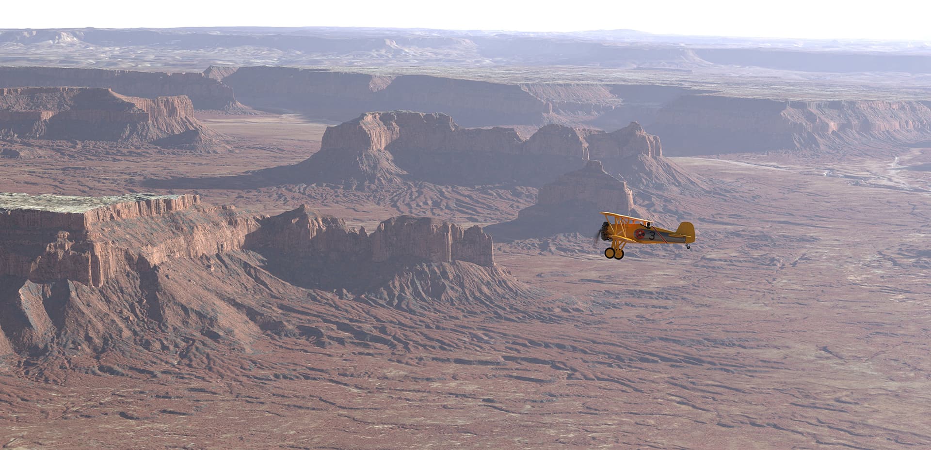
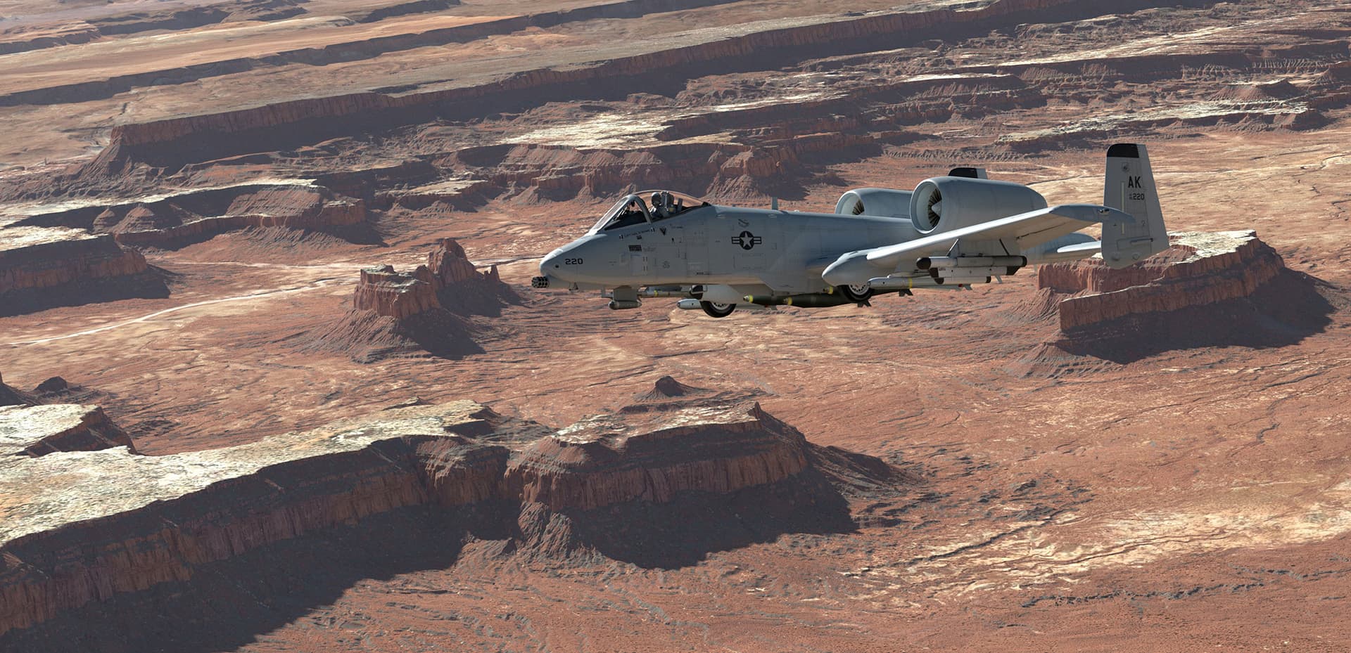
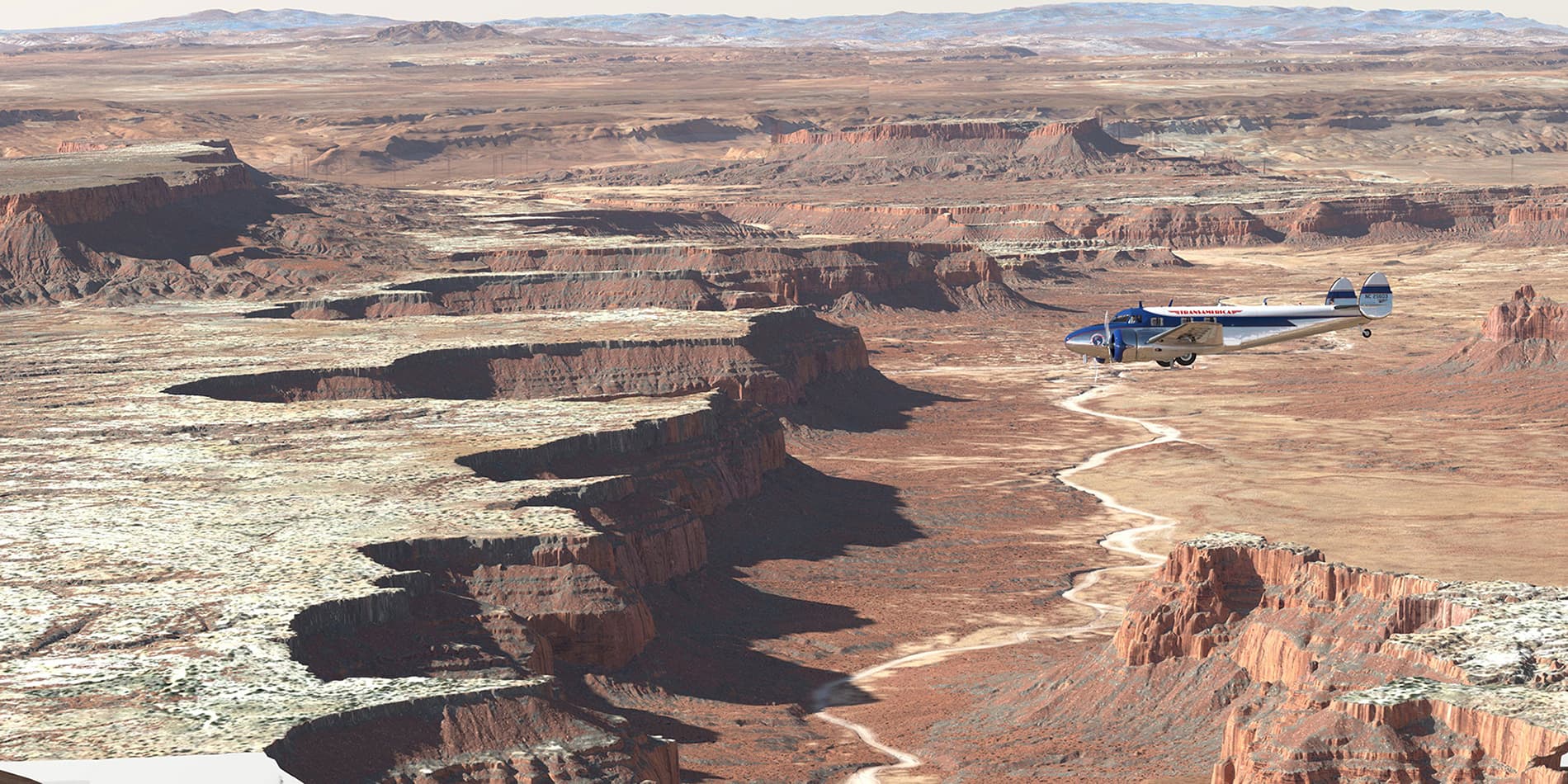
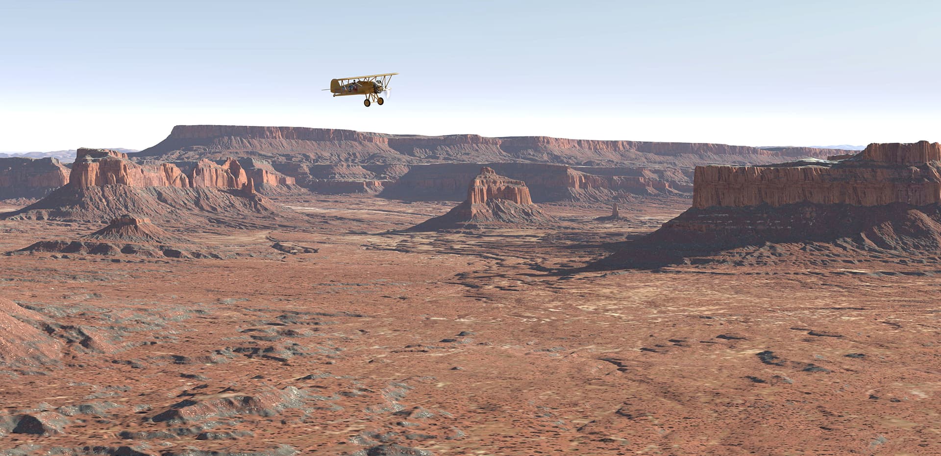
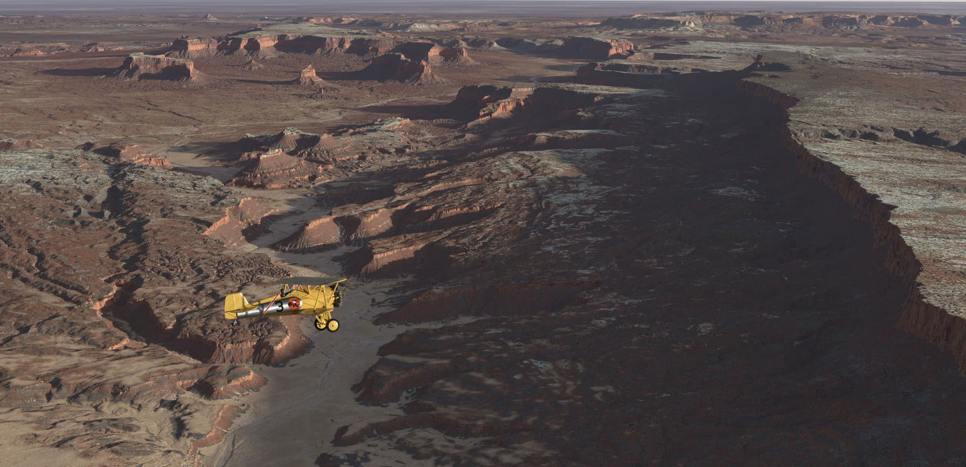
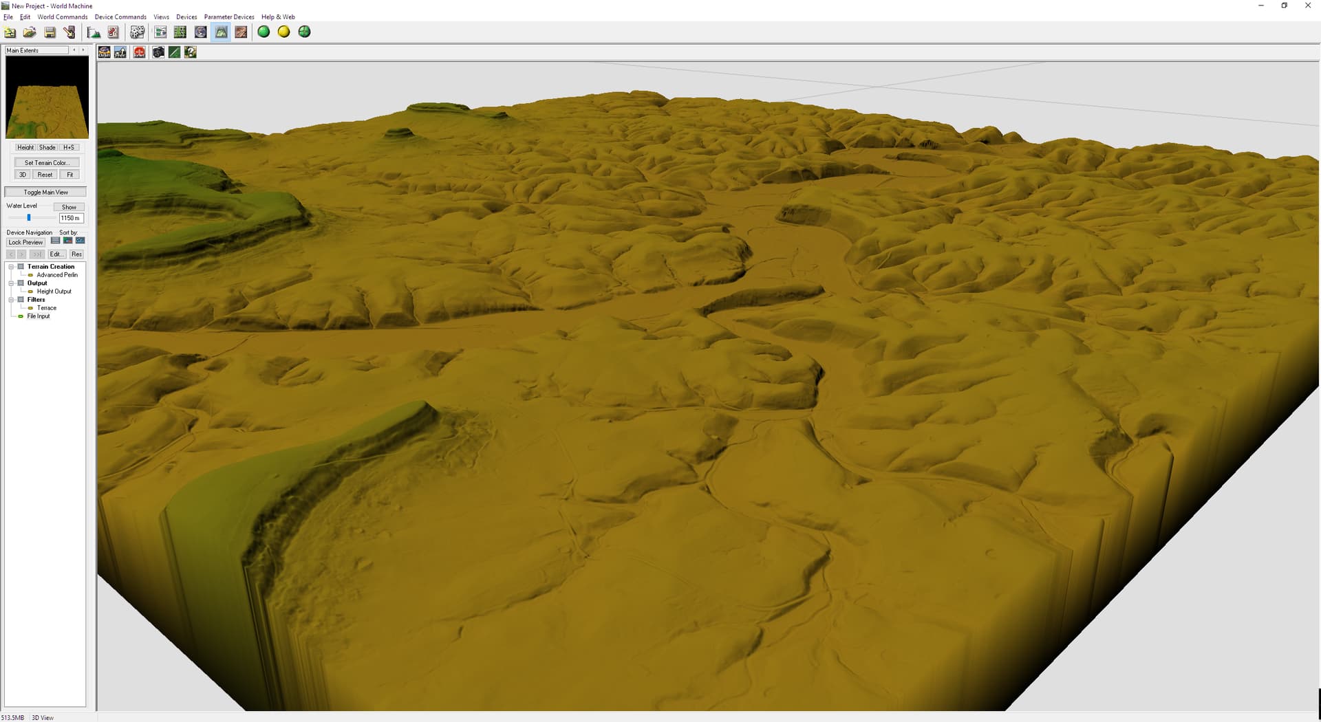
I’ve been playing with the new 1 meter DEM from USGS , the resolution is amazing, I took the tiff map into World Machine but did not erode the file, just used it to extract all necessary masks to use with a Vray Blend Material in Maya. More images are on my Artstation if anyone is curious.
Looks Fabilus.
I have been trying to import DEM into WM for years, but always failed.
Can you tell me how to to make DEM into a TIFF so I can import them into WM?
Thank you Hotshot,
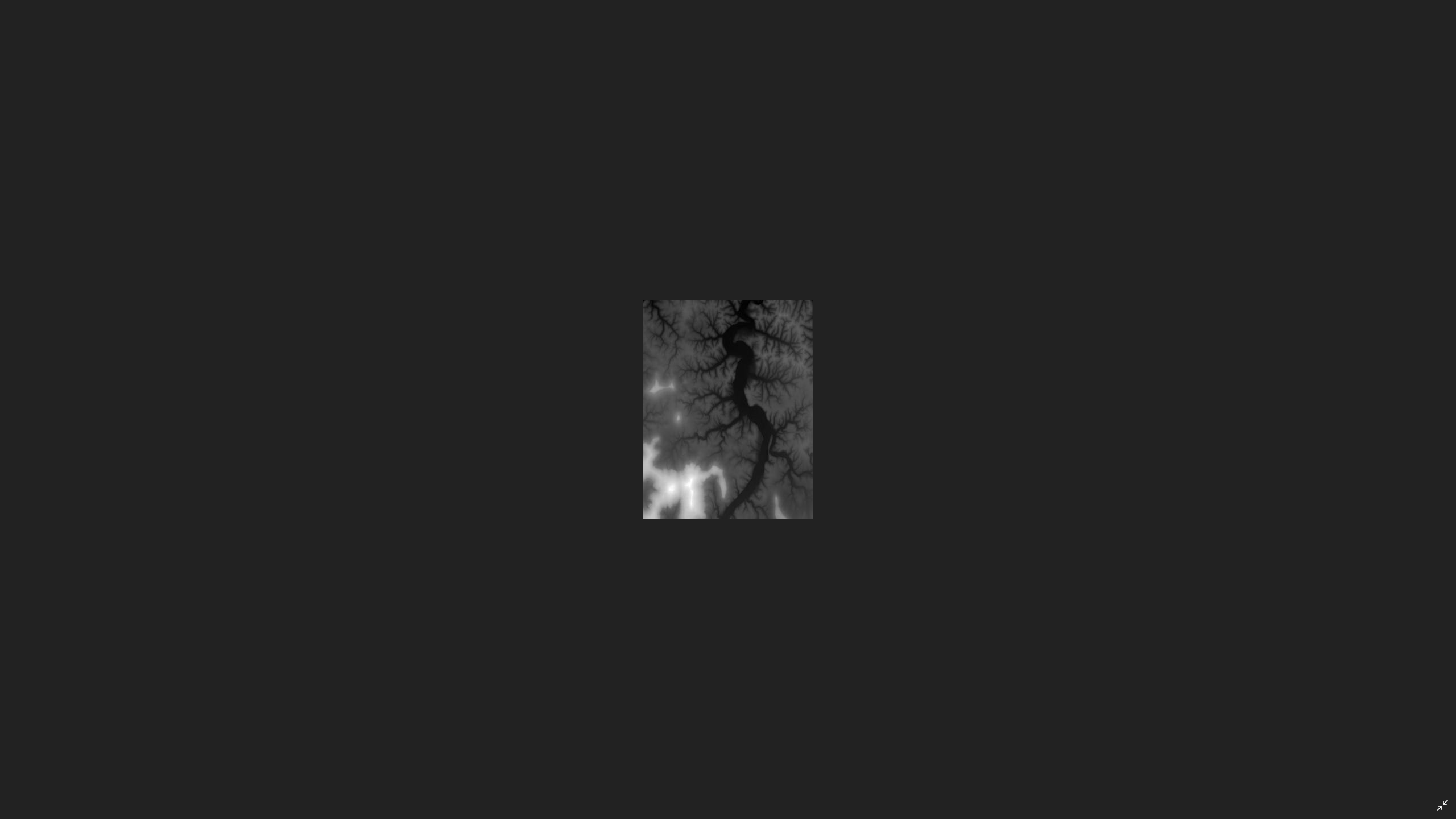
there’s really not much to it, just download your favorite area from the USGS website 1 meter Tiff, then take into Photoshop and adjust the exposure so you can see the map grey values and save, you can stitch several maps if you want just as I did , then in WM create a file input node and load your saved Tiff , adjust the elevation to your liking. Same process for any other file from USGS, 1/3 arc sec , 2 arc second or 5meter Alaska.Give it a go.
I still have no luck with USGS files. Can you guide me more to get it into WM?
JPEG files look OK But TIFF ALWAYS come up white, inside PS, GIMP and WM
Jpegs? Jpg is never used for any kind of height maps, they are only 8bit depth.
You need to adjust the exposure of the tiff file in Photoshop like I described above.Save the exposure preset so you can match with other tiff files if creating a larger map, this way no seams will be visible since the map borders match exactly.