It’s been quite a long time since my last post… But I’m still alive! 
I have a slight challenge for anyone to practice on!
I came across this artistic image of the Earth, flipped inside-out… - How would our planet look if we changed “up” with “down”?
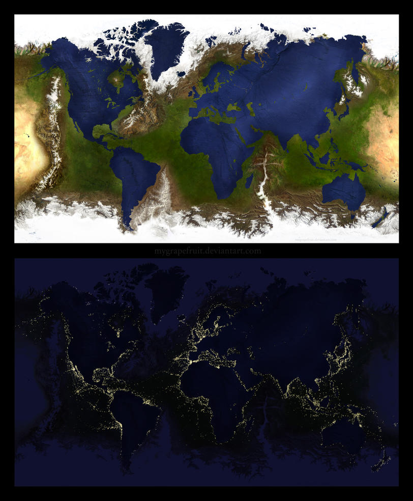
Really neat… HOWEVER: It’s geographically wrong! :twisted: There should be a huge mountain range at the Mariana Trench, and a really deep area under Mount Everest… Would anyone accept a challenge to see how the Earth would actually look like if inverted?
An extra challenge would be the night texture: placing of cities and city-lights along bays and flat areas near waterways!
Possibly, you could:
- find height-map of Earth including underwater region
- obvious use for an Inverter device
- one or two gradients could bias/threshold the application of slow to height, so that more snow appears near the poles
- creative use of weathering device to use as mask for the city placement
Sounds interesting, no?
By the way, “htraE” is Earth spelled backwards 