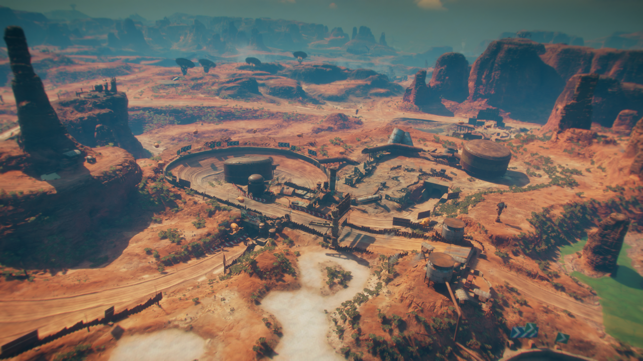
For the most part roads/paths follow the terrain and only in some places they cut through it (I assume on moderate incline roads follow the terrain and on steep inclines roads cut through it).
What you’re going to want to do is use a Layout generator to create your road shapes. Take a look at one of the example worlds included with World Machine:
File->Open Example World->Beginner Tutorials->Tutorial 9 Creating Roads
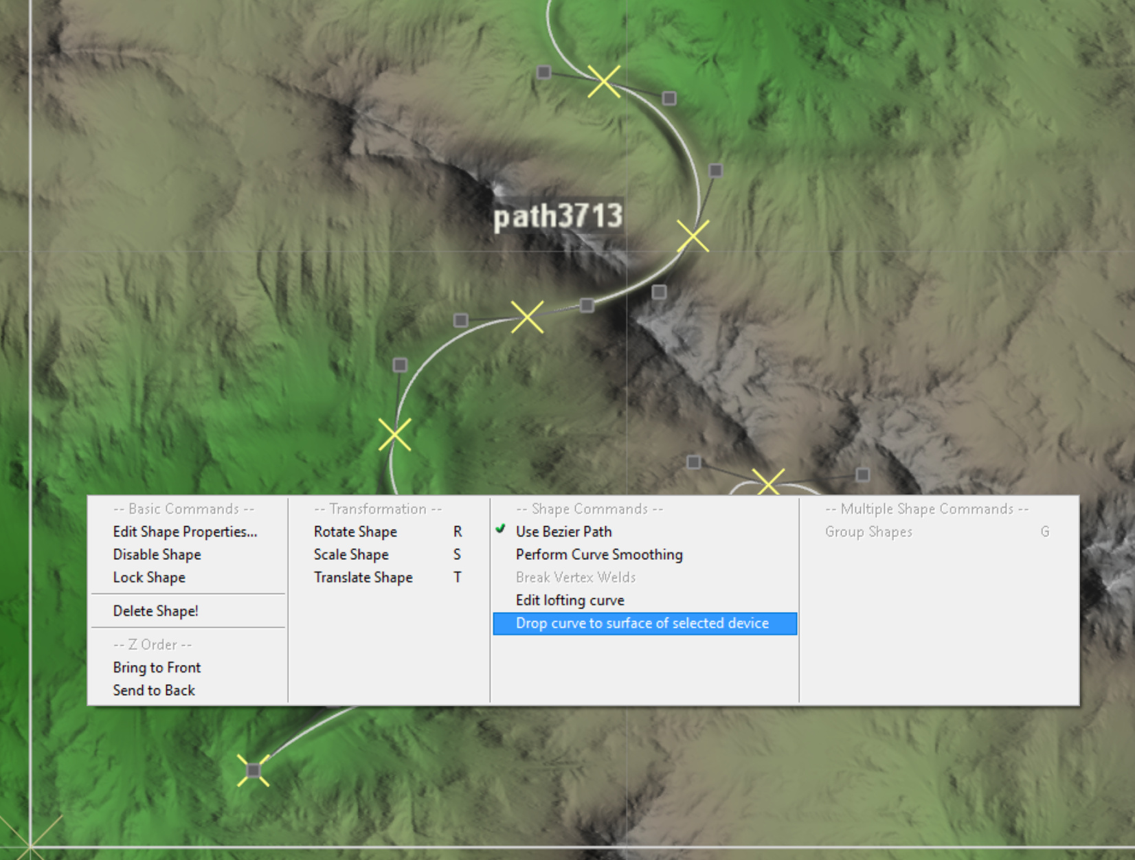
Input your terrain into the primary input of the layout device; this will embed whatever shapes you create into your terrain. Then use the lines shape for your roads. The road can have its own elevations that may or may not be the same as the terrain; you can right click on each vertex to set its height, or right click on your path and select “Drop to surface of selected device” to make the road match the input terrain.
Hi Stephen,
but how to do it when on the contrary it is necessary that the ground adapts to the elevation of the road and not the opposite. In my case it is a complete road network (Shape road) that I must supperpose to my (heigmap). And trying to load a 3D file via the “add layout from File, *. svg or * .dxf” seems to be vain.
Can you give to make cohabit my terrain with the elevation of my road?
Thx
Best regards
To import a path that has elevation data, SVG is not good enough; you’ll need to use the DXF format to load the path with your road elevations.
Make sure your DXF data is a poly-line with z data so that it imports correctly as a path into WM.
Once you have a path with your elevations, you can set a large-ish falloff to make the terrain reasonably merge to your road, along with a host of more complicated things.
Is there a way to import flat SVG, align it to the terrain initially in WM and then change Z elevation in WM for certain points to make it cut into the terrain ?
Definitely! In fact that’s considerably easier than trying to match exact outside elevations.
I’ve attached two files, one a simple SVG path, the other the starting WM world (Alpine Lakes build) modified to have a road in it.
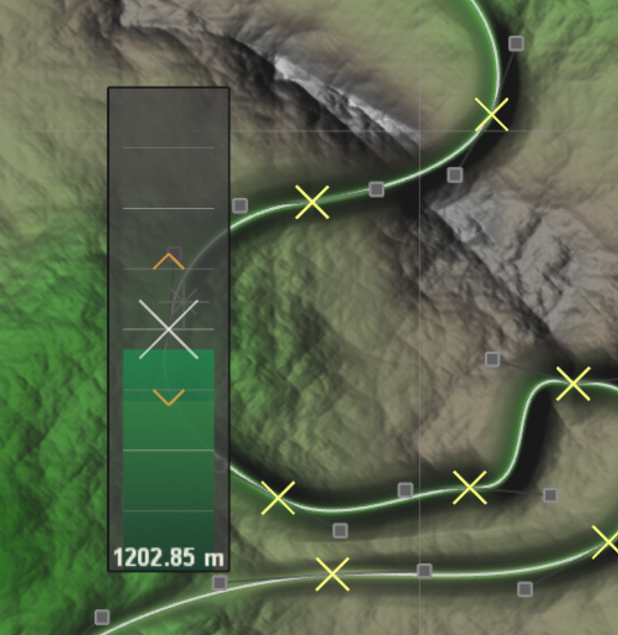
I think the important step missing is that the path has its own elevations that you can set it to whatever you’d like. To make the elevation higher/lower than the surrounding, just right-drag on a vertex to set it:
Thanks Stephen,
I’m already aware of this pipe. it can help, but my road network is too large, and that’s why I’m looking for a non-manual solution. The dxf format would be a possible solution, if I would find a way to switch from Maya curves to a .dxf file.