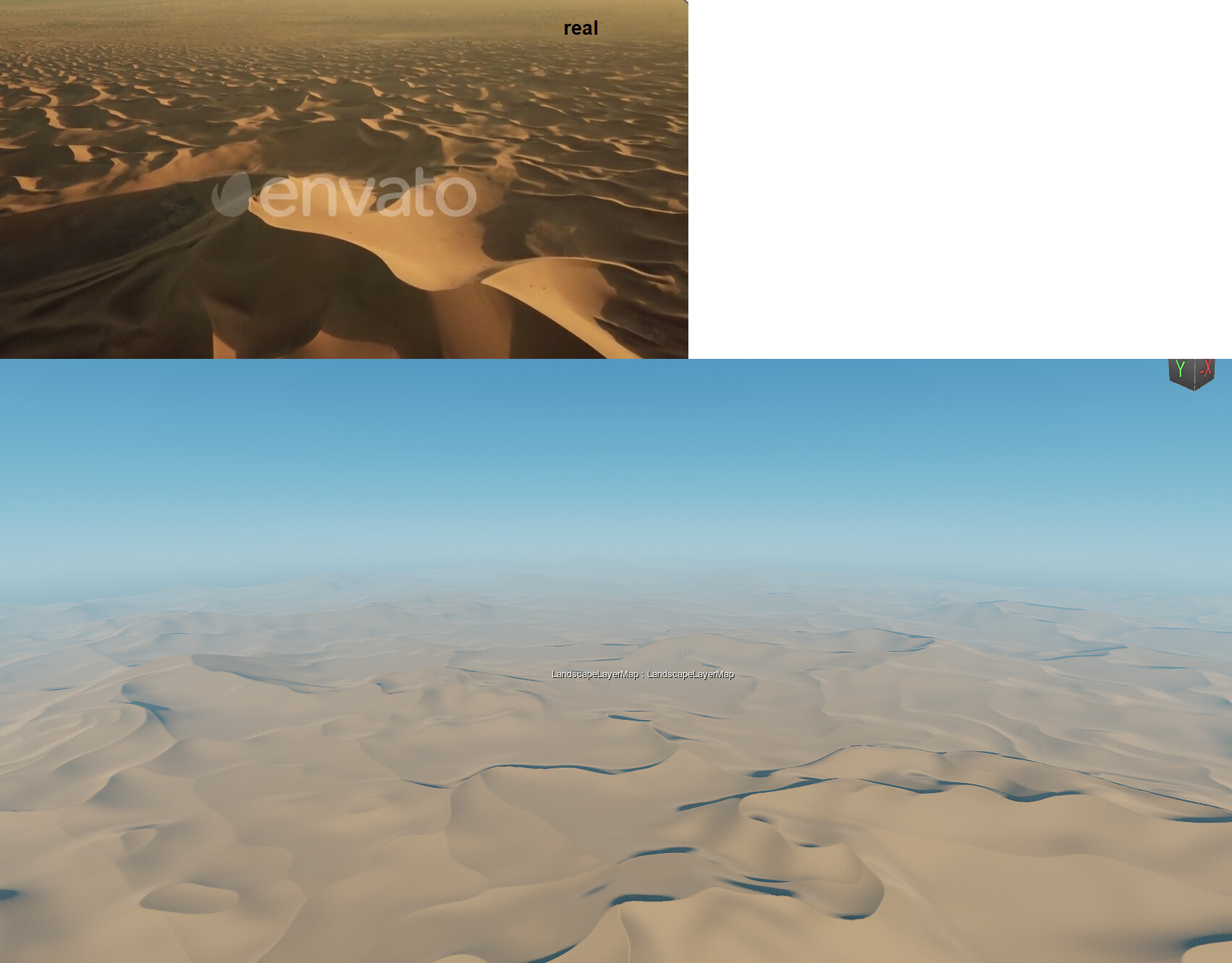
I took some time studying the sand dunes of the sahara using Google Earth and found some interesting things.
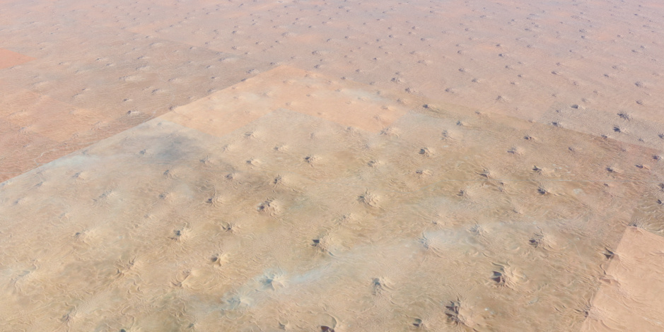
First off, in contrary to my believe, deserts are not just an endless series of dunes but instead have “hero dunes”, just like you have “hero mountains” in mountain ranges as well. Those hero dunes distributed very evenly, almost in a grid like pattern.
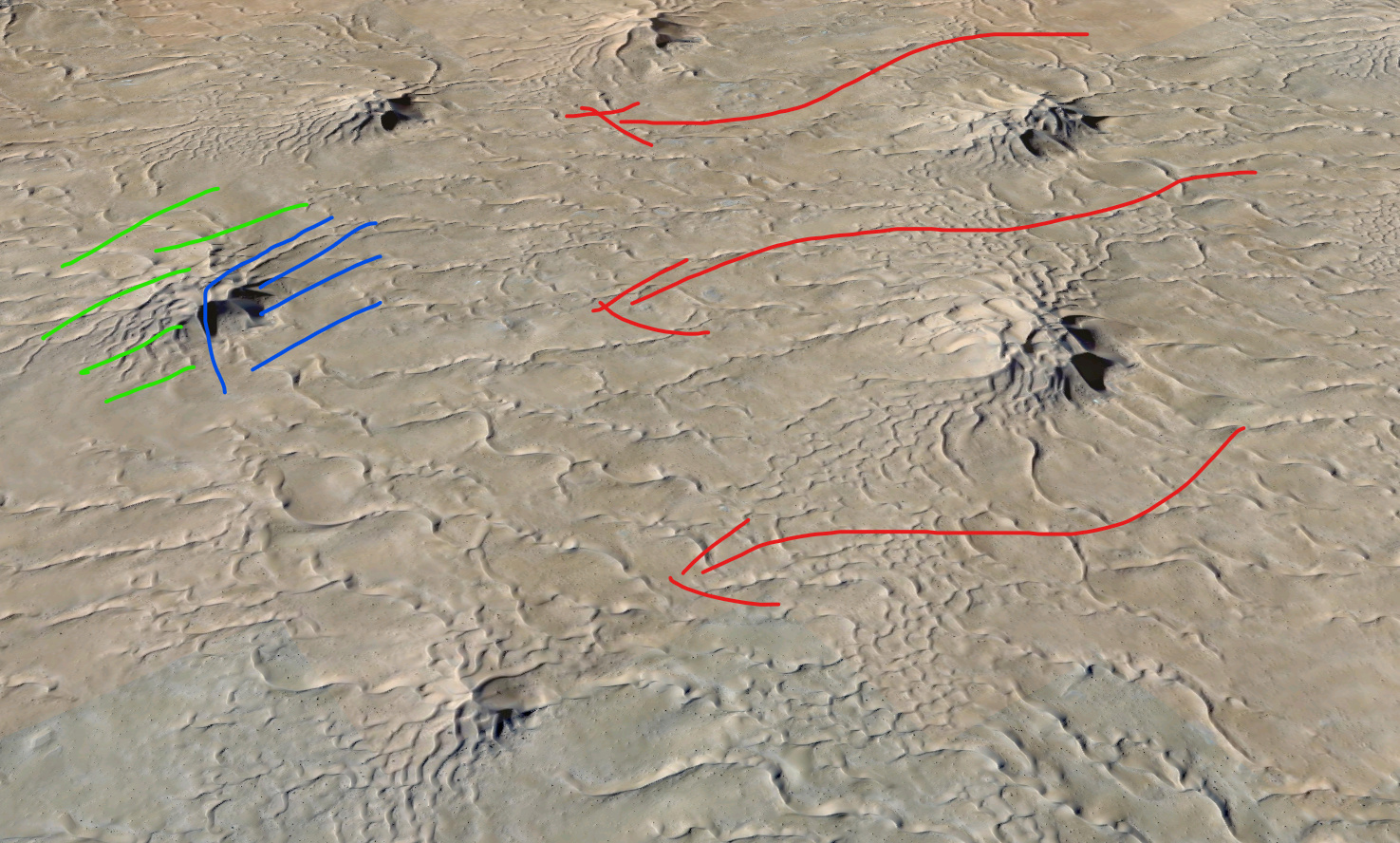
Then, when zooming in on those hero dunes, you see some funny characteristics emerge. It is split up in two sides, I guess caused by the main wind direction in the area, indicated by the red arrows. You have a wind swept zone that almost has no “tentacles” and is very steep and abrupt (blue) and then on the other side you have tentacles emerging that spread out to the sides and to the back (green).
Then, in that green area, you sometimes have spots of smaller dunes, the classical sand dunes I had in mind when researching this subject. These dunes follow, what seems to be a Voronoi cell like distribution.
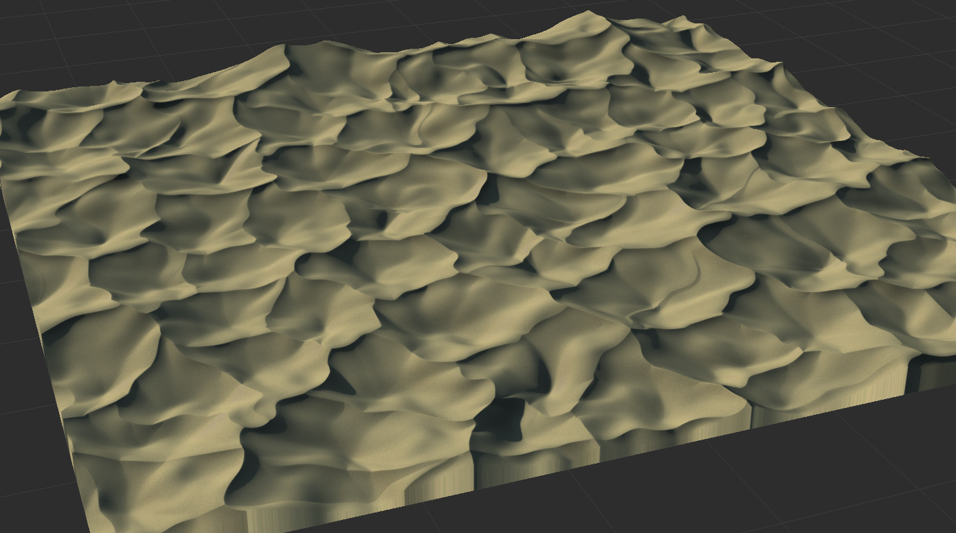
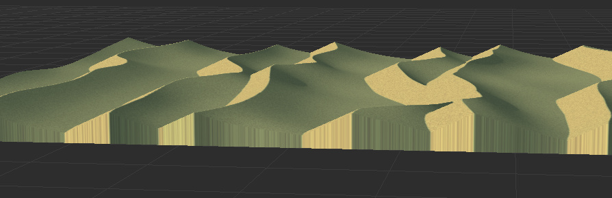
With that in mind, I started to build the macro. I would like to hear what you guys think of it! You can download a .zip file with the output from above, so you can take a closer look at the dunes yourself.
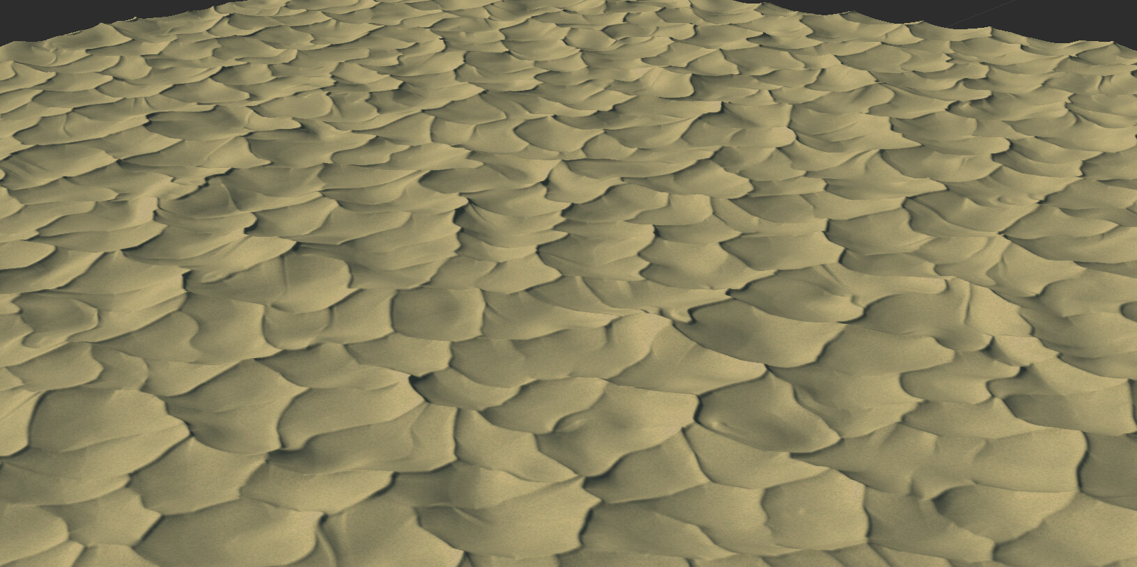
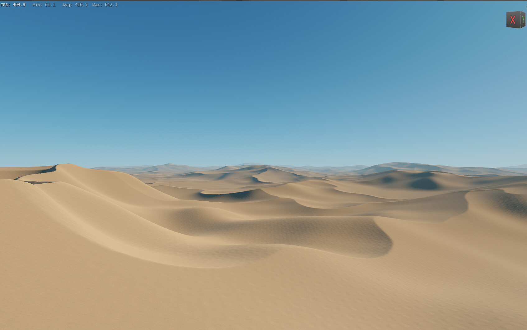
When talking with some other terraformers on this subject, I came to the conclusion that I will, most likely, create several macros for different type of dunes and bundle them in a pack. So here is my quick concept for longitudinal dunes. I will keep this thread updated as I make more progress.
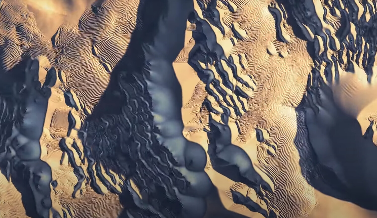
Hello, very interesting work, thanks for share! Creating realistic dunes is indeed very difficult and all current terrain generators have troubles with that. From my point of view most advanced in this area is WC, so I was importing WC generated dunes into WM (not workflow I am happy with). Some dune macro/device is definitelly needed, I am missing this functionality in WM many, many years.
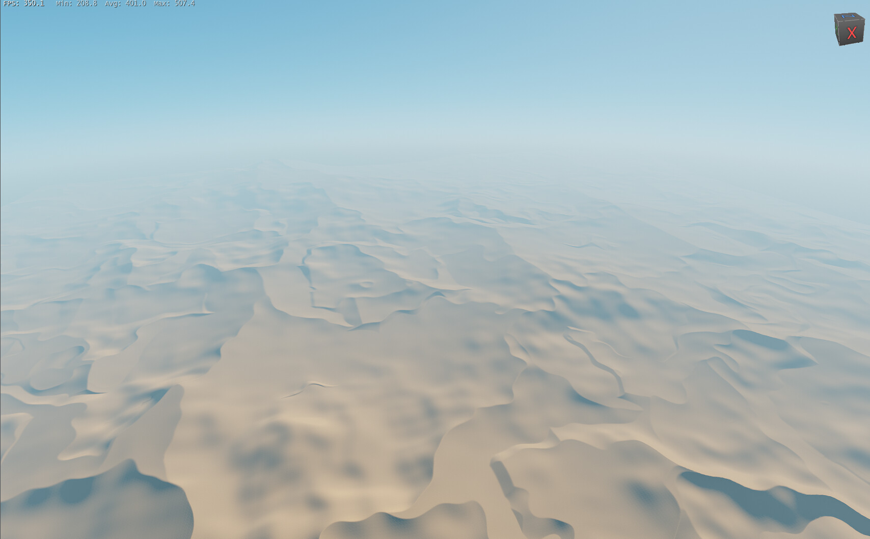
Currently the output of the macro. Sadly I haven’t had much time to develop it any further, and I will probably not be able to do so any time soon, but whenever I have some time and can post some meaningful process, I will post on this thread.
It’s a really generous post where he goes through the steps and the thinking to arrive at his result. What I like about the dunes are the different scales of dunes in operation together, and that they are created from and in response to the existing environment.
Mesmerizing to watch in motion~
That looks really cool indeed! Sadly, this kind of stuff is not possible within WM yet, as we don’t have some iterative processing or ability to code in projects, doing these kind of simulations. But the shape of the dune as described in the video is certainly something I take in mind whilst emulating the dunes!