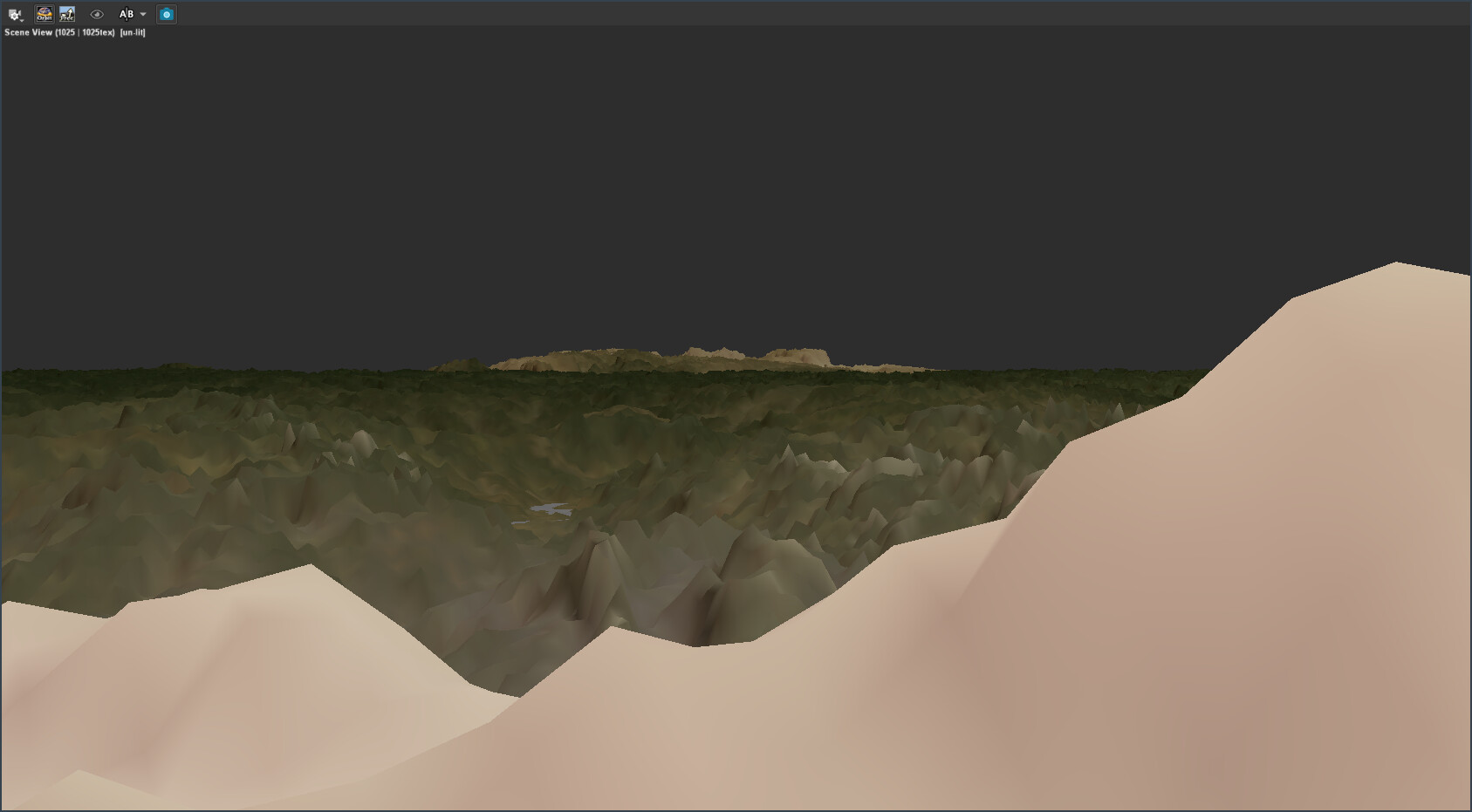
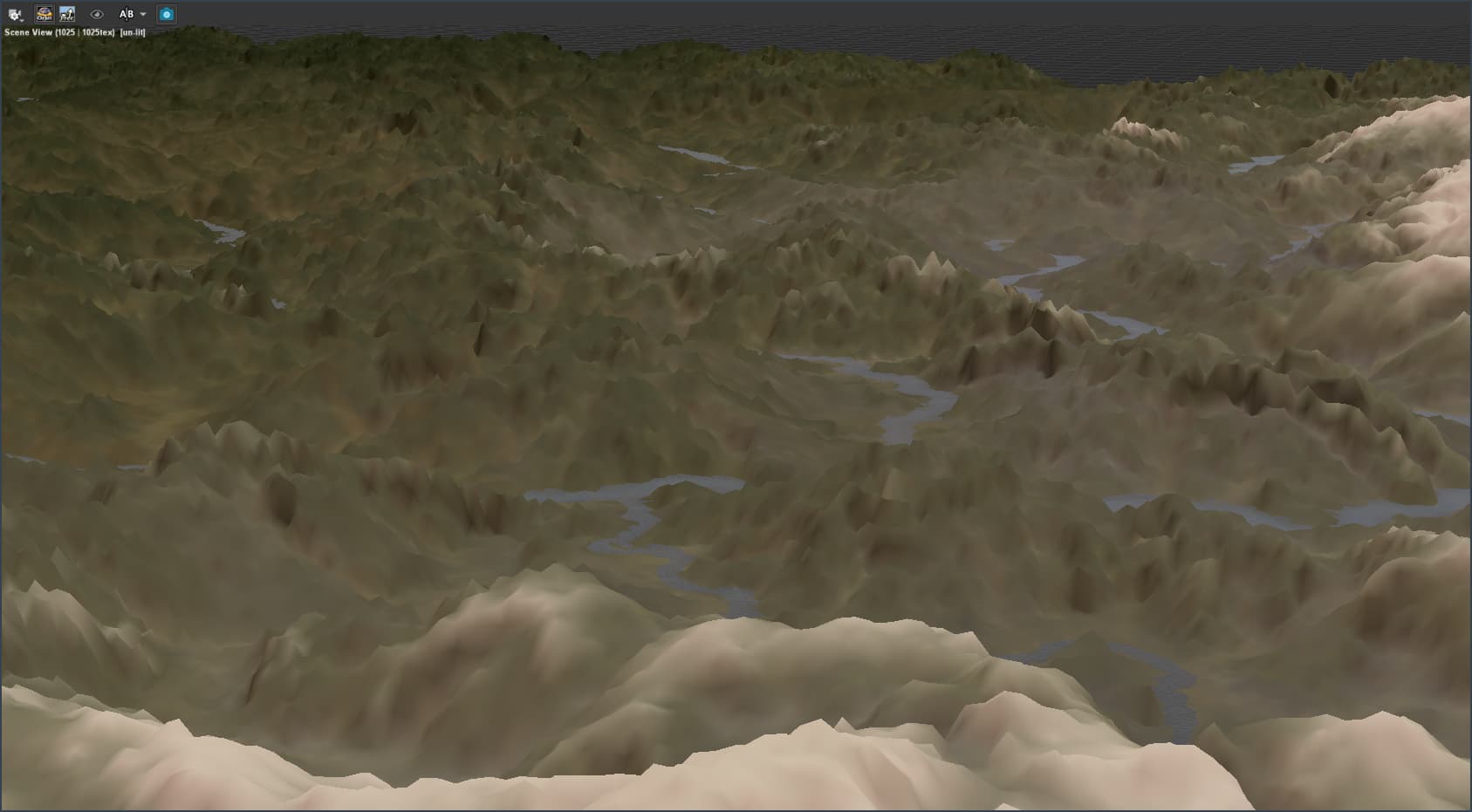
So while I’m waiting on the help desk to see if they can help me with the purchasing I’ll keep running some tests on WM to find the best look for this personal project I have in mind. I realized I was trying the wrong approach regarding top-down views for satellite-like images so I made this test where I set a proper scale to the elements in the terrain and got a result that I really like.

Also, this test helped me to understand how to blend different biomes without getting a boring straight line where biomes would clash against each other.

Of course, the details of the terrain are not proper for close shots on ground level. It’s all about creating an illusion with a mix of terrain shapes and colors for far-distance images, but I believe with the Pro version I’ll be able to reach a result that’s good both for far-distance and ground-level shots.

There’s always room for improvement, but things are definitely getting better.