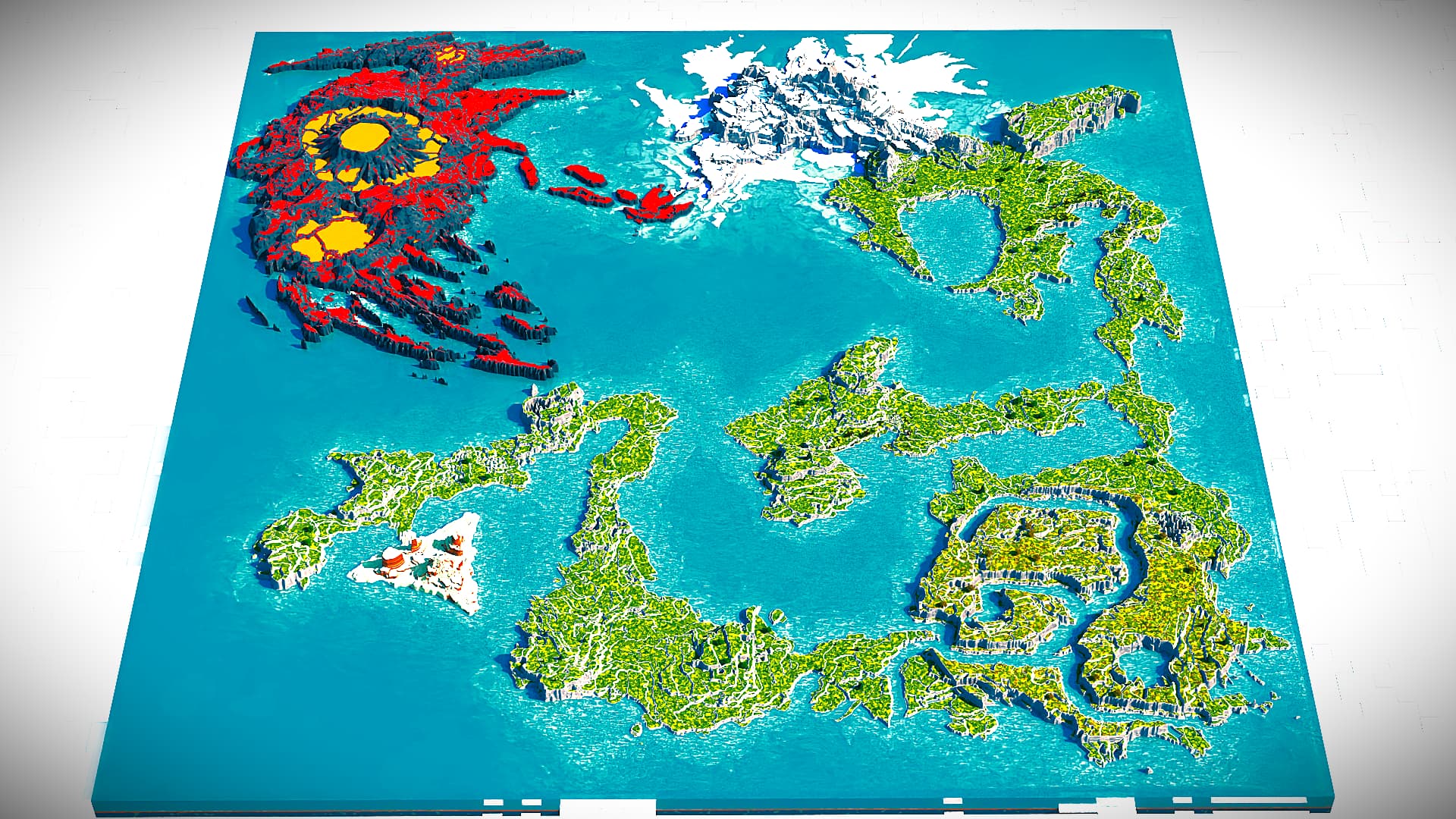
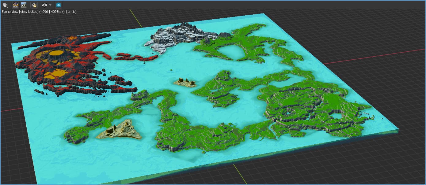
If you just want to do the colors for the water as a visualization aid in World Machine, you can definitely do that! Again, it would only really be helpful as a visualization thing, you wouldn’t want to export the terrain, but if your oceans are generated by a Coastal Erosion and/or Create Water device, you can pipe the water output into an Unpack from Composite Type device, grab the “Water Surface” output for the final heightmap, use whatever method works best for you to isolate the water area (output masks or combinations thereof work, or, in a worst case scenario, you can always get the Absolute Difference of the water surface output and the actual terrain), and adjust colors in different areas with masks and colorizers as you would any other highly locational coloring. Here’s just a quick and dirty example using an old project of mine:
Obviously, it can be refined to look better, this was just slapping some colors down, but it can definitely be useful if you’re looking to visualize! Since you’re using the Water Surface output, you likely wouldn’t want to use the resulting heightmap anywhere else, but it’s great for visualization!
yeee - it is most obvious to use bitmap to do such - but in my post i more mean real color modification of Water datatype - like you do from Project Settings in current 4040+ WM releases. But with usage of masks for diferent color in diferent areas
water datatype have cool animation of waves, also it not solid as heightmap in your example that uses as fundament for bitmap - water datatype is just overlay layer of water
so i did mean ability to directly change color of water datatype