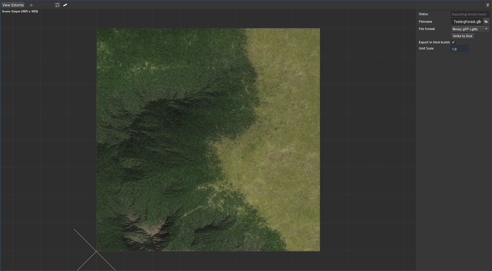
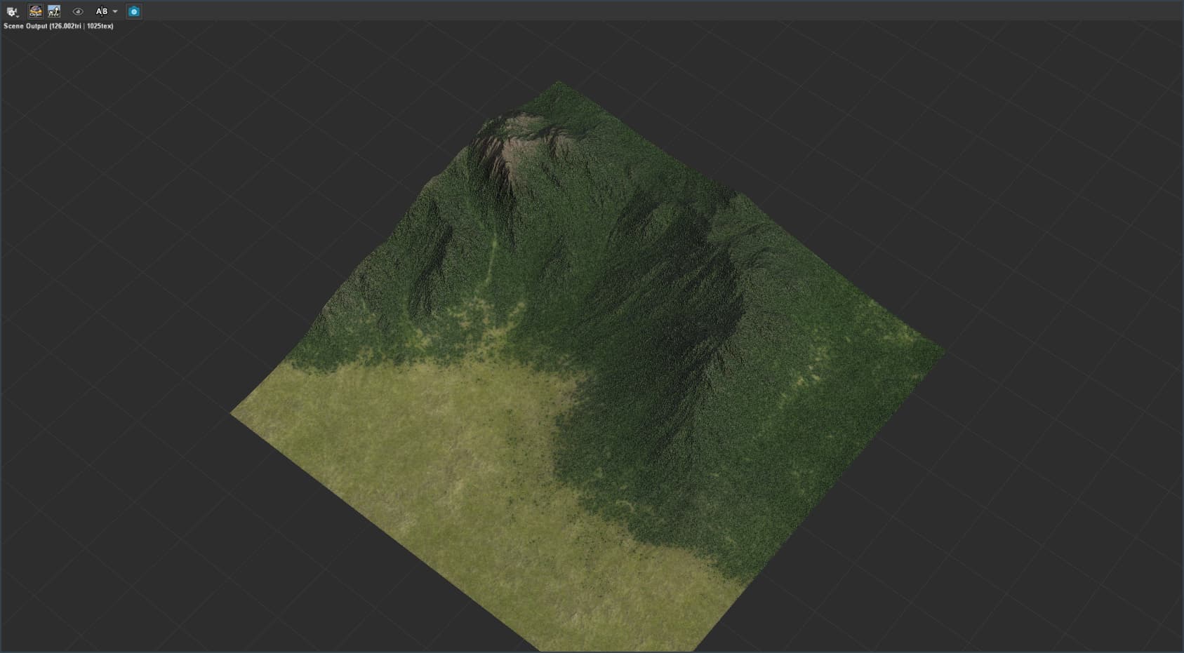
So I’ve seen a lot of good stuff in this category here and got some inspiration for this project that I have in mind. The core of everything is trying to create satellite-like images. It doesn’t need to be very realistic, after all, I want a nice artistic look to it.
I’ve achieved a nice result through testing with the free version before I purchase the pro version and start to work full throttle in the project itself. I’ll be sharing the results of the tests and the progress of the project with the WM community in this WIP area and it’ll be awesome to get some feedback from everyone. Hope you guys enjoy it!
A few things you can try, to improve the flow of your terrain better.
Introduce water in the scene. I’ll attach a demo project where you can see how its usage helps
“Wetness selector” can help carve out a water path through your forest if you have a water body. Makes sediment flow naturally through the thicket.
Everything you gain from the first two points, you can use and abuse later to improve the “look” of your terrain. Also, you gain a lot of time in the long run, going the shortest route. The time saved carving shapes, can be better utilized elsewhere in your artistic endeavor.
Here’s a demo project. The goal is not to follow it strictly, but you can apply this logic broadly in your own project:
Water demo.tmd (653.8 KB)
File compatible with world machine pro, build - Dev 4032