
(Note: I’m using World Machine to make heightmaps for OpenTTD, where elevations at/under 0m/pure black is considered water.)
Something I keep coming across is Coastal Erosion is that it fills in any 0m height areas, and leaves the coasts unchanged. This creates a valley that follows the original coast, between the original coast and the new hump generated by Coastal Erosion.
Is there a way of preventing this?
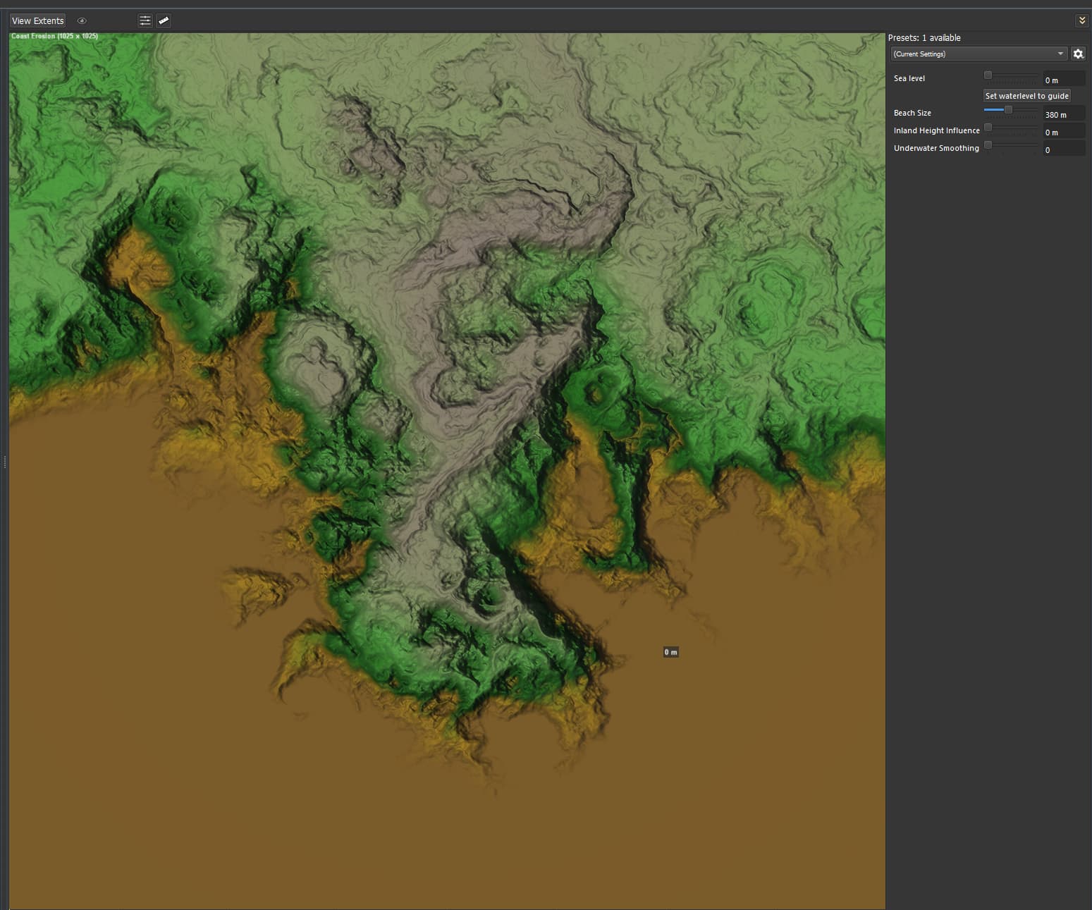
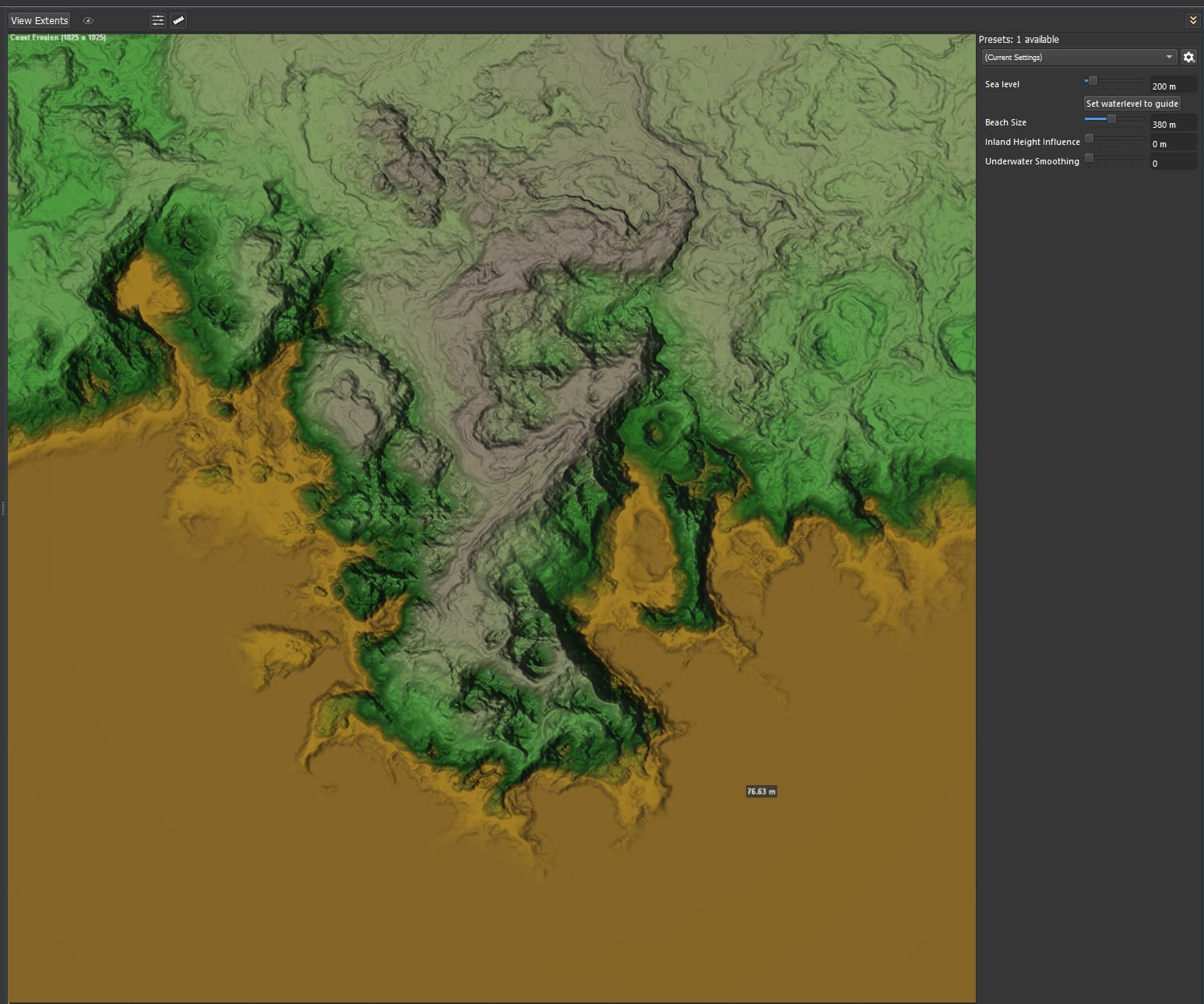
EDIT: Here is an example of the weirdness. Coast size is set to 330m.
Sea level set to 0m:
Sea level set to 200m, the sea floor has raised to ~76m:
coast erosion raising ocean floor.tmd (89.1 KB)