Sure, I made it using the shapes device, first I tried using Adobe Illustrator and then import the svg but I couldn’t scale it to fit the template I have due to the lack of a more precise way to scale than just hit S and scroll up or down, it would make it bigger or smaller but would not fit. So I made it again manually using the path tool inside the shapes device.
Then I told the path to stick to the terrain elevation (right clicking on it).
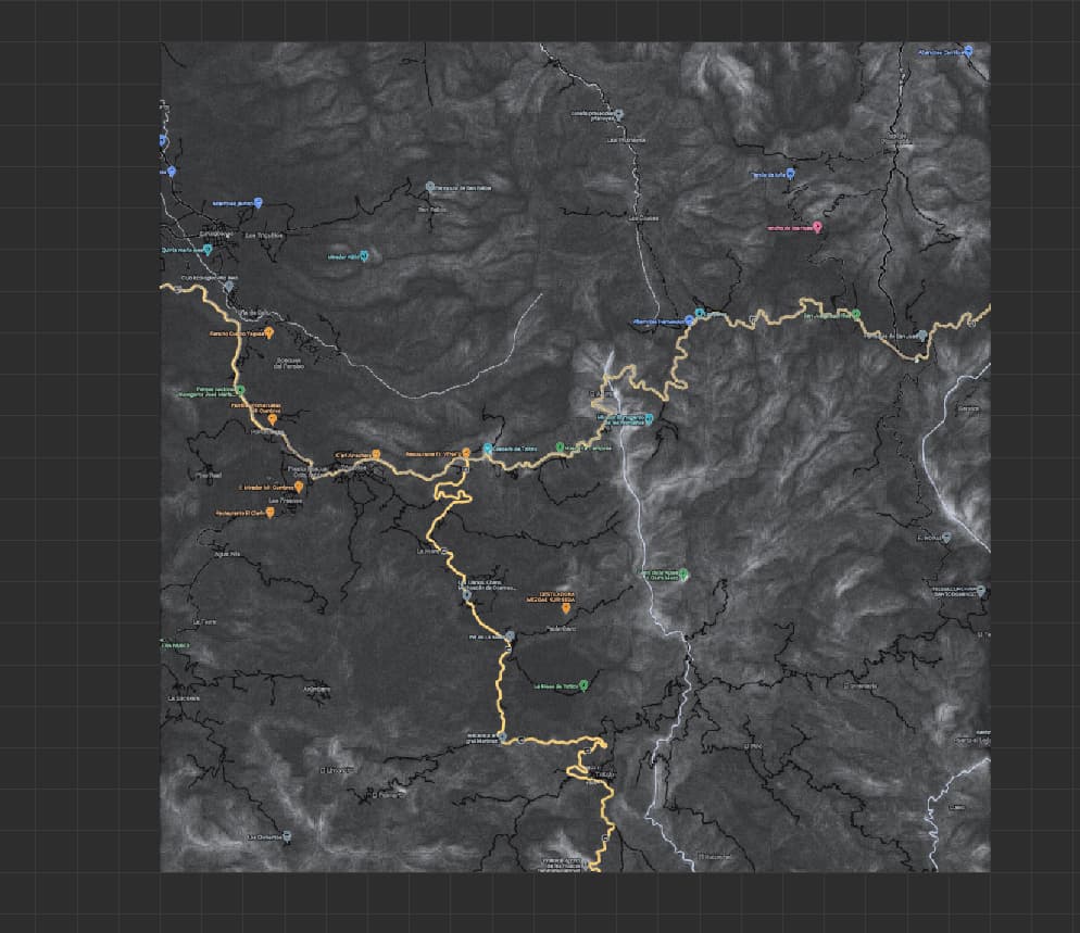
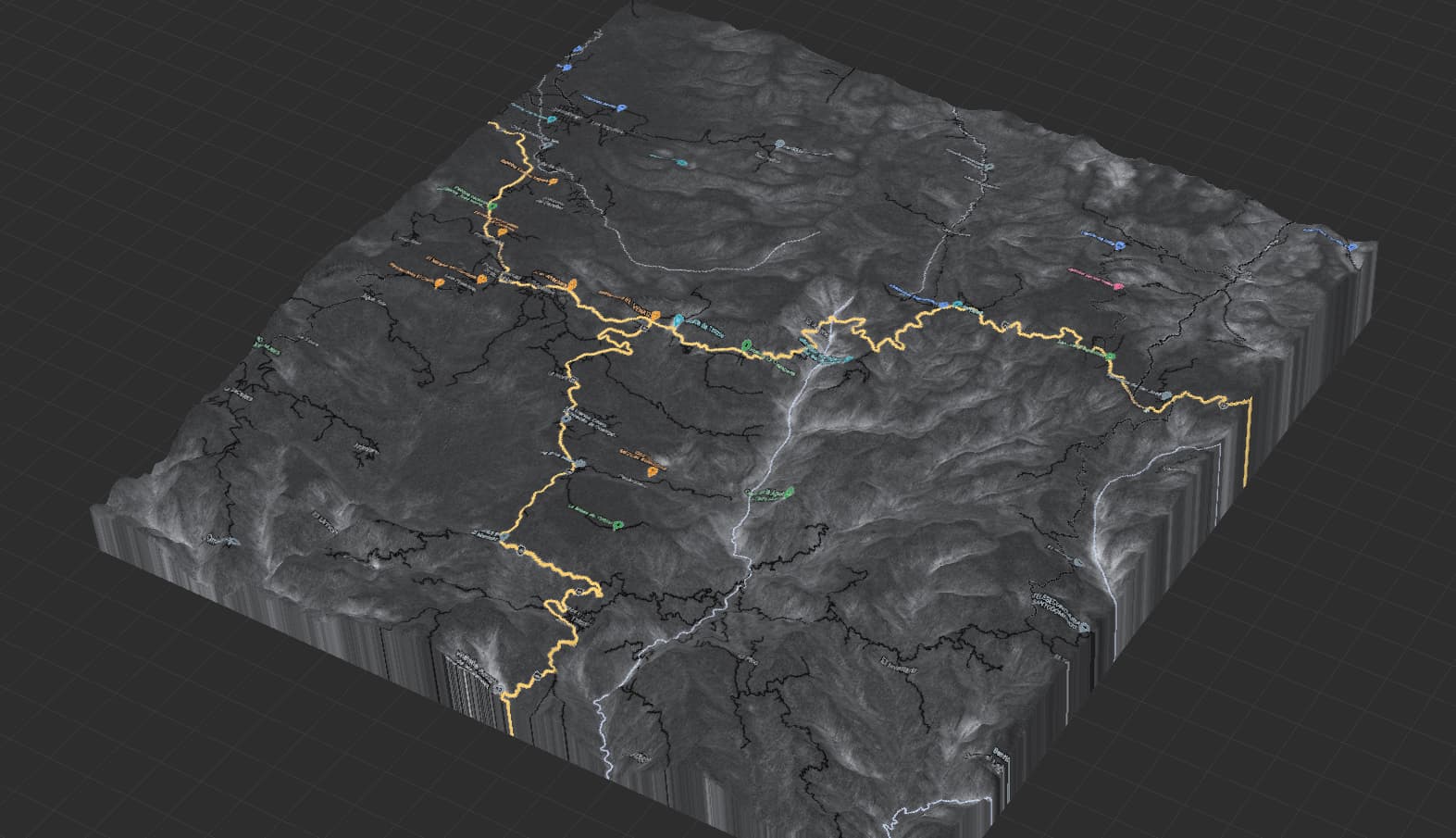
For context, my map is a real place I extracted using BlenderGIS. It’s a place called Mil Cumbres here in México. I was able to create the heightmap using blender and extract the template that perfectly fits the heightmap.
I imported that heightmap to WM and started working from there.
After I finished the terrain in World Machine I decided to make the roads in Illustrator as I explained above. I then imported the template using the overlay function that is in the left side panel and then drew the road using the shapes device.
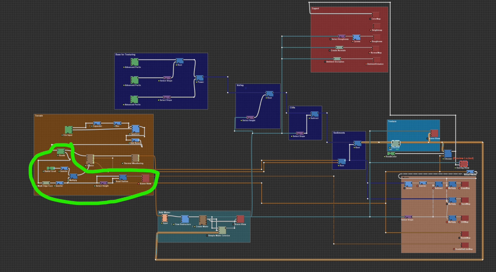
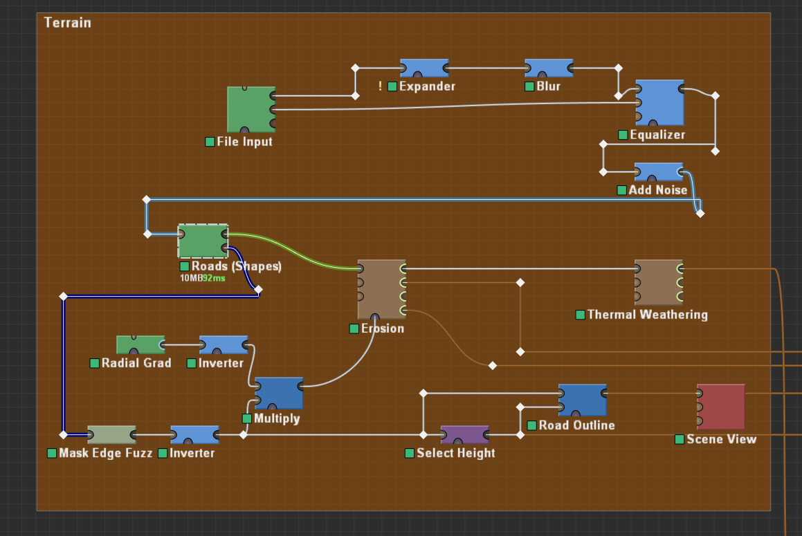
So many nodes as you can tell, too tricky to make manual fixes.
On the tutorials included in WM, the tutorial 9 explains how to make roads, so I made them using that technique, I actually converted the tutorial to a blueprint to make it easier and then I imported it to my project.
I only tweaked some things after I drew the road to make it fit better to my scale (my map is 20 by 20km).
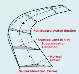
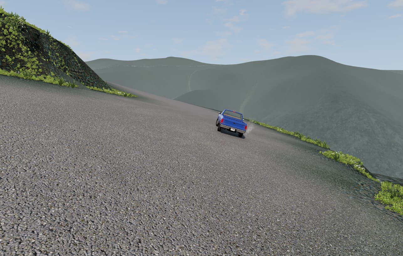
Then I imported it to the game and everything was fine, except for some super big slopes that I guess I’ll have to fix manually and the curves that doesn’t have the inclination I’m taking about, and another thing I explain next.
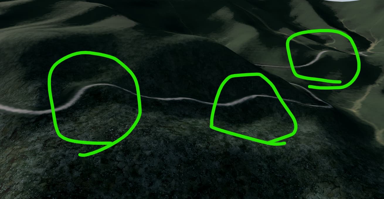
in-game image illustrating the problem
You would not like to find this road irl lol
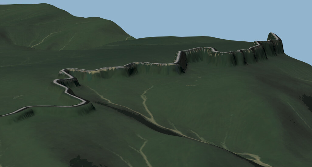
I also have another problem, while most of the road follows the terrain elevation as it should, an “small” (like 2km) portion close to the end doesn’t, that part is much more elevated than the terrain for some reason, I tried fixing it manually but it’s tricky to do. Is there a way to find out the exact elevation of a certain spot?
I would like to find out what is making it do that so I can fix it without having to do it manually. It’s a 20km long road, and it’s 20m wide and I still have to draw another one vertically.
These are the super big slopes I was talking about.
Edit:
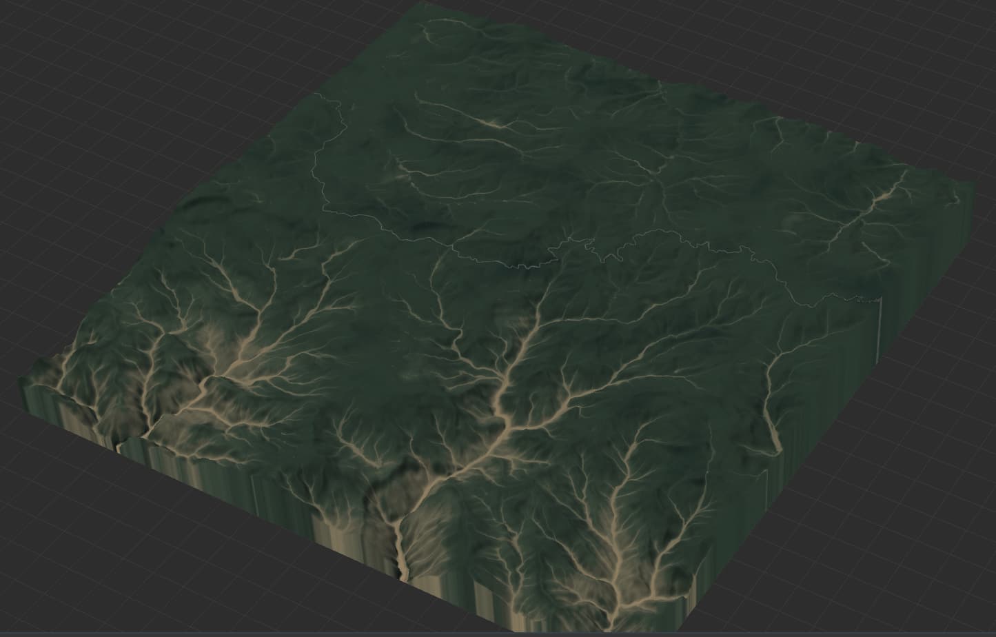
After inspecting some more, I found that the shapes node is not causing the elevated parts, but the erosion device:
Shapes device view
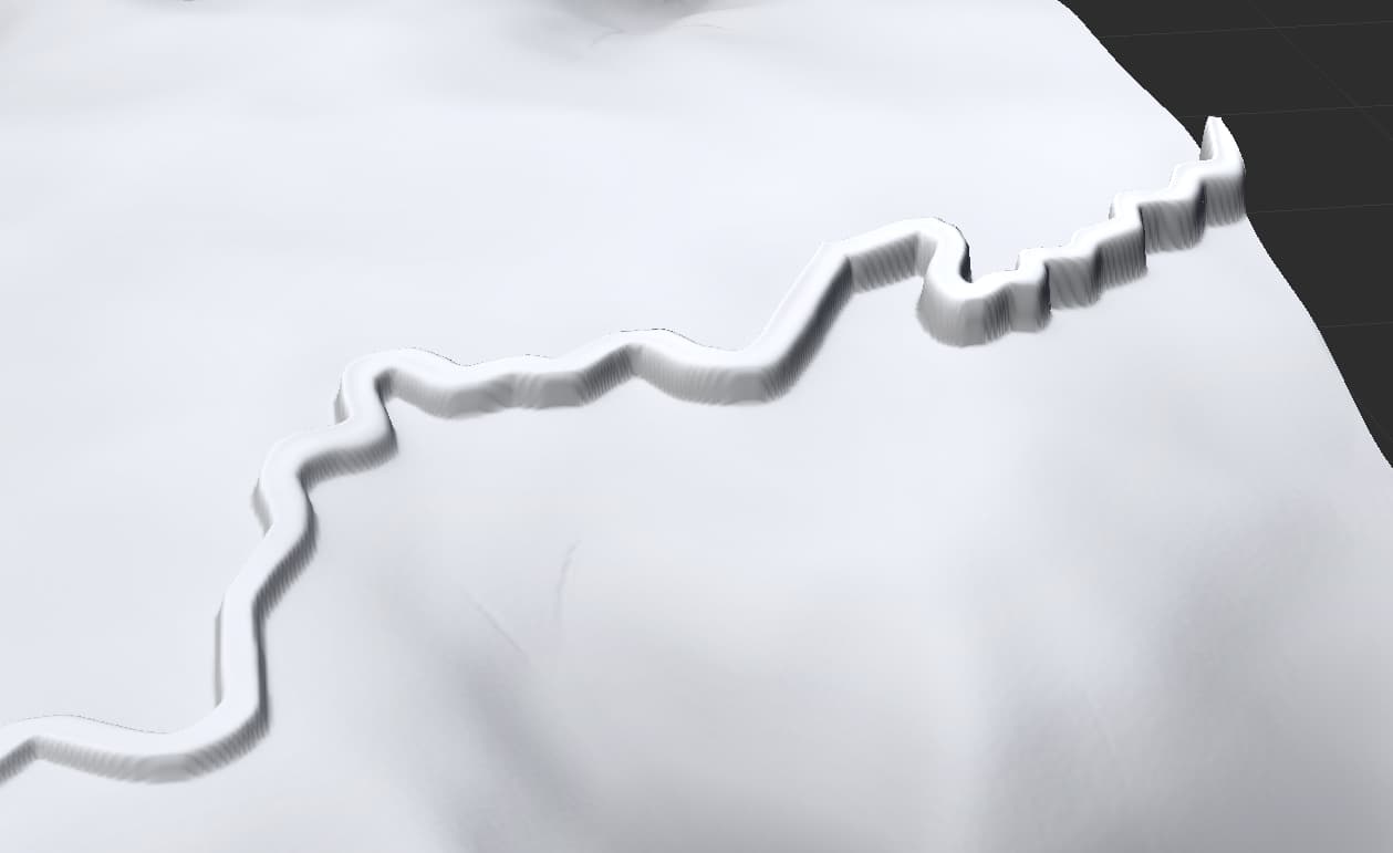
Erosion device view
I still have no Idea how to fix it tho. It shouldn’t affect that since it has a mask with shape connected to it.
Aight, after looking carefully, I realized that what the erosion is doing is making the terrain flatter in that area, reducing the elevation. The shapes device is before the erosion, so the shapes can only stick to the original heightmap elevation, and not to the new erosed elevation. What would be a way to make the erosion have less effect in that area? Or even make it to don’t change elevation at all? I actually had to mask out the taller hills since it was making the too low that it looked just wrong, I would like the erosion to not change elevation at all.