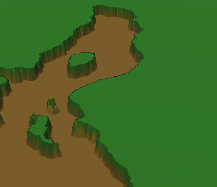
I am using satellite data to create an island, unfortunately the data doesn’t include any data for underwater.
I am able to extract the coastline, if you like. Which gives me something like the following.
Top most altitude is the sealevel, bottom altitude is the seabed.
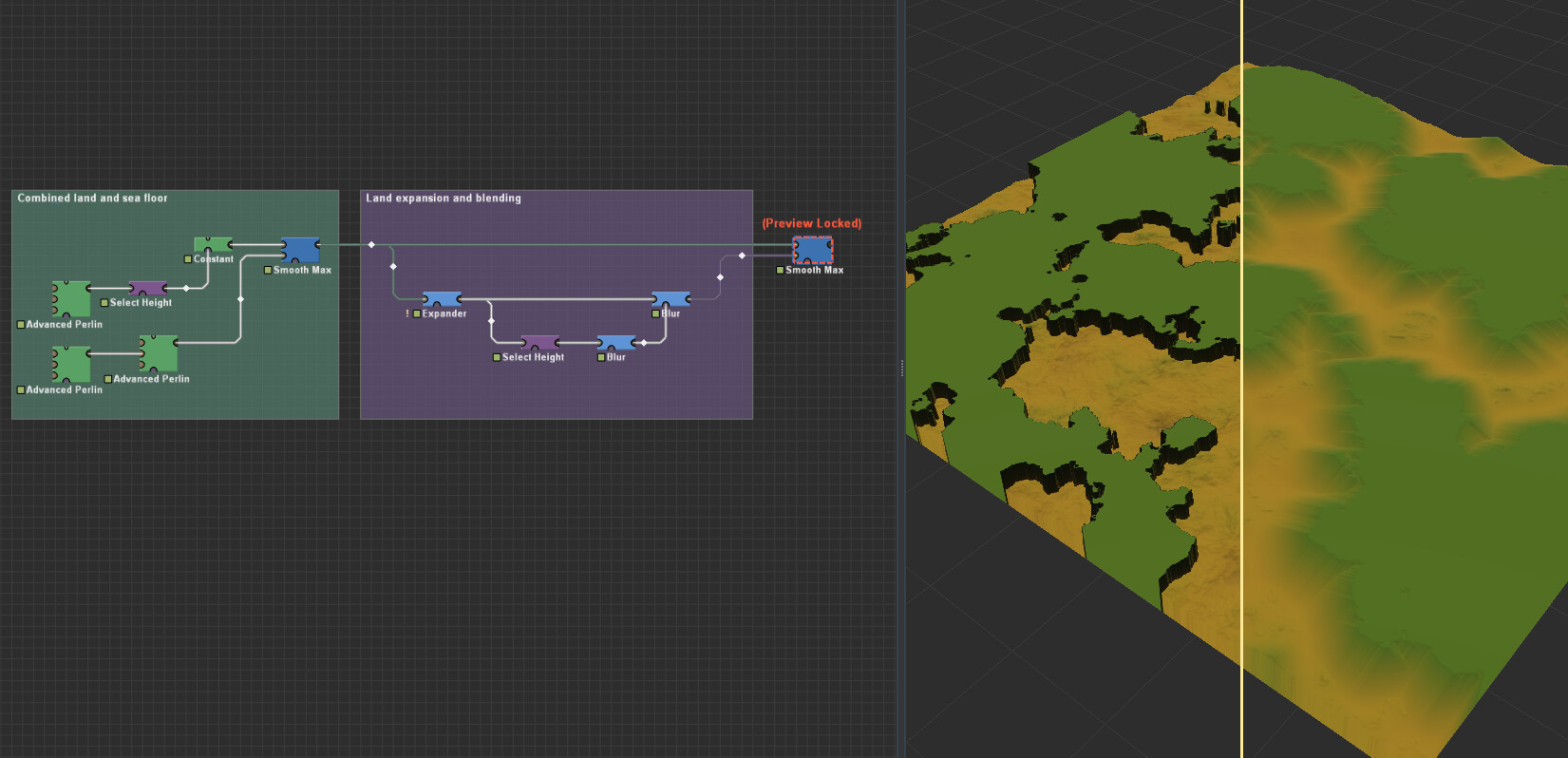
I’m not sure what your data flow looks like, so I assumed a worst possible scenario in which the land and sea floor are combined into one heightmap. If that is the case, I propose the following solution. Note, this is the core principle, you can really increase fidelity with some noise and distortion.