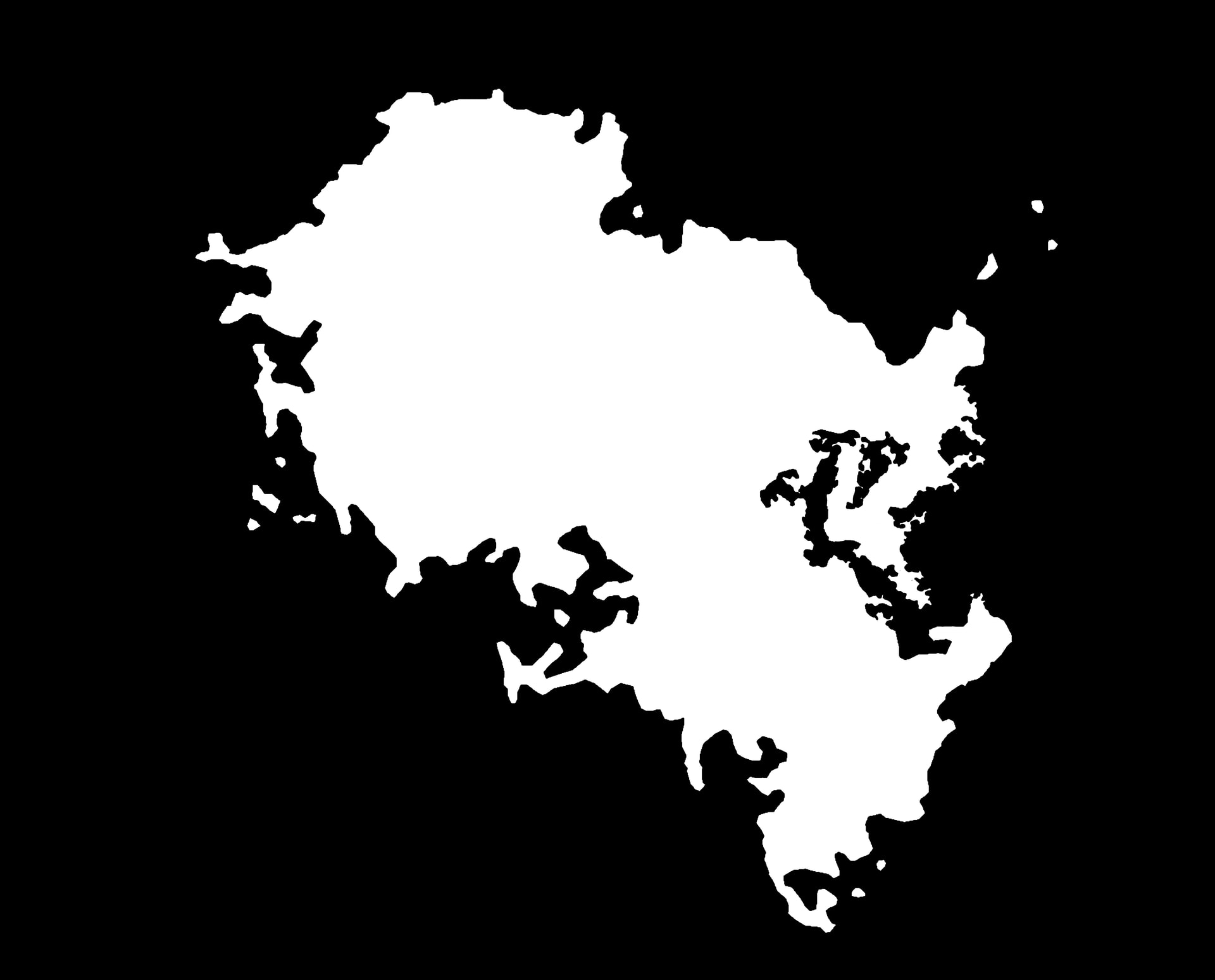
Hello! I have a continent I designed a long time ago that I’d like to give some shape. I have a black and white version of the shape I’d like, and I have a pretty basic understanding of masking. But I’m stuck on how to keep coastlines low elevation. I’ve tried a couple different ideas to no luck, so I’m wondering if there’s any other experience on the forums that might help. If more information would be useful, let me know.
1 Like
my first suggestion in this kinds of cases is the Expander device set to Min mode, which will essentially produce a distance-from-the-coastline map. You can then use that mask directly (which will keep the coastal areas low), or use that as a base input to further masking work.
1 Like