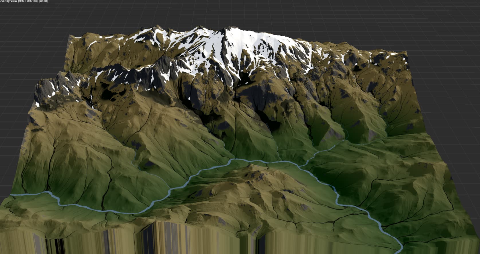
This looks like something by @Delta_Research and the screenshot I have is from Friday, July 14, 2023, 3:48:14 AM (probably when I downloaded it if it did not originate from a .tmd I was studying).
I was hoping to track down the .tmd if it’s one I have or at least get a copy of the heightmap for it, to test something out in Filter Forge. It brings to mind the central part of the US (Colorado, Wisconsin east of the Rockies) assuming it was flattened proportionately:
This a kind of terrain I’d want to be able to generate for world- and continent-scale maps, and I haven’t really come close to it yet. I have been getting better at branched mountains. If I have the .tmd for this, I could find out where I can improve a bit more.
Wow, its been quite a while since my last time visiting this forum. I havent used WM since then, but I may be able to find it somewhere. I think in the post WFab linked, I have a somewhat detailed description of what i did back then and how I achieved that look. Iirc it was just a bunch of create water, expand, subtract.
Anyway, thanks for the ping! I wouldnt have seen that there is an update.
If you do find the .tmd, I’d love to see it. I made a guide for your process from that post, so I can try to create something similar to what you did, but I’m sure there are more steps I can only guess at.
Okay. I’ve been through that a few times after replacing computers. I have to track down all of my license keys, finding some in my email, some in random notes and some I have to contact the apps’ publishers to recover.
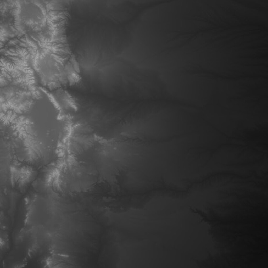
I added a lot of emphasis to make the details clearer here since it’s an eighth the size I was working with. It’s still a ways from the real-world example but works fine as proof-of-concept for using this technique on large-scale terrains.