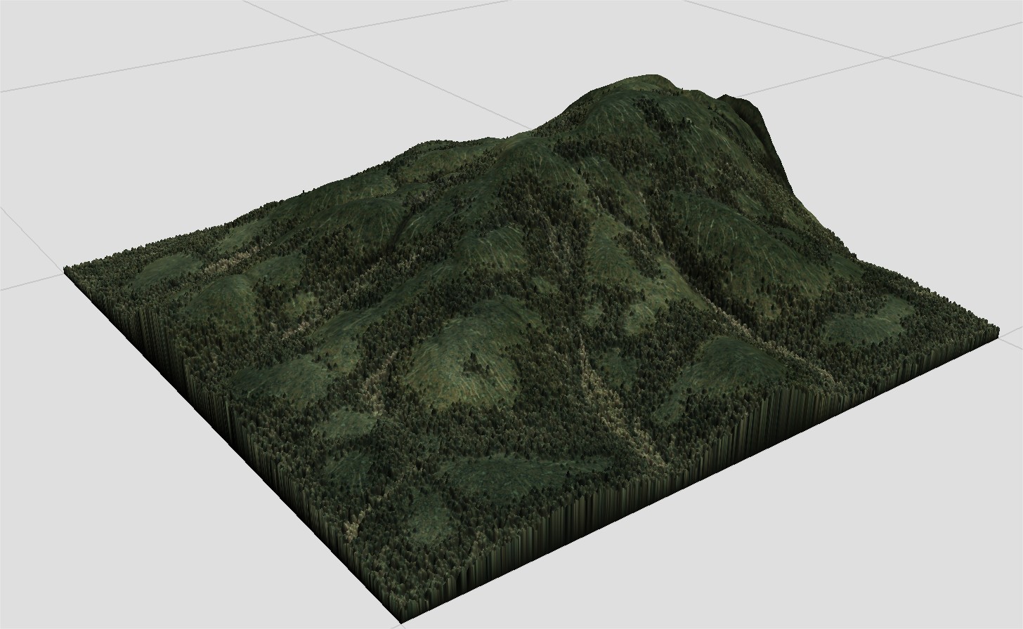
I created a nice heightmap several years ago in Wilbur, but unfortunately lost it when migrating to a new computer.

I like it because the hills are nice and rounded, there’s a flat-ish area in the middle, and the rivers are narrow and deep. Could someone help me by showing me how to recreate this as closely as possible in WM? In particular, I used Wilbur’s Fill Basin filter to flatten the valley and I can’t figure out how to do this in WM. Also, I haven’t figured out how to create the river channels. Thank you.
Mike