I spent some time today exploring ways to improve my large-scale maps using the technique @Stephen shared in Influence Noise to flow in general direction:
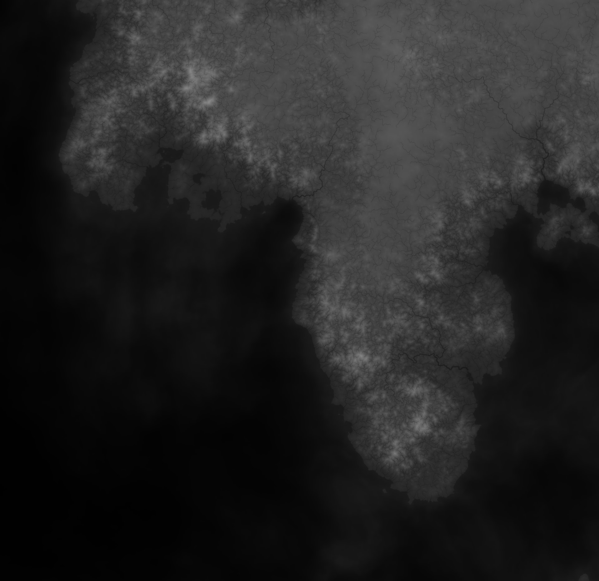
I multiplied the water system for better visualization. I’m thinking I might want to find a middle ground between this and the techniques discussed in How to create “folded” mountain ranges?.
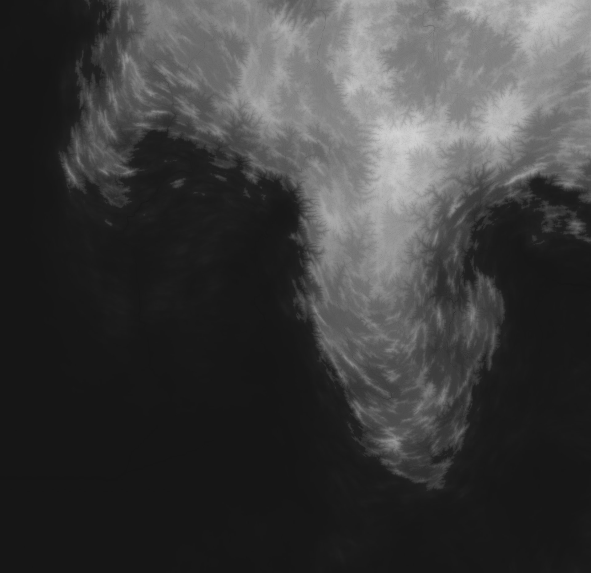
This one is from last night, with the same water visualization.
Both are in the same .tmd: